Satellite remote sensing
Atmospheric composition, air quality, Earth observation validation, and environmental change applications.
About
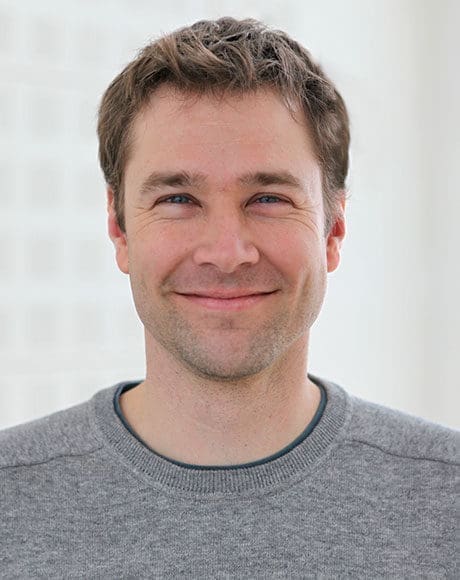
I am a Senior Scientist at NILU – Norwegian Institute for Air Research. My work uses satellite remote sensing, environmental models, sensor networks, and spatial data science to make air-quality and environmental information more useful.
My current research focuses on atmospheric composition and air quality: from global and urban nitrogen-dioxide trends observed from space to high-resolution mapping across Europe. A consistent theme is integration—combining satellite, model, and ground observations through data fusion, geostatistics, data assimilation, and machine learning.
Earlier work includes satellite observations of land and lake-surface temperature, climate applications, wildfire risk, and remote sensing for hydrology.
Expertise
Atmospheric composition, air quality, Earth observation validation, and environmental change applications.
Geostatistical data fusion, assimilation, machine learning, time series, and spatial analysis.
Urban and regional mapping, low-cost sensor systems, and transparent quality-control approaches.
Wildfire, pollen, methane, lake temperature, climate, and land-surface observation.
Career
Satellite remote sensing of tropospheric air quality and climate; European air-quality mapping, data fusion, low-cost sensors, and validation.
Research on large inland water bodies as indicators of climate change.
Remote sensing, spatial analysis, carbon-budget research, and wildfire-risk modelling.
Remote sensing in operational water-balance and flood-prediction modelling.
Education & service
PhD, Geography
University of California, Santa Barbara, 2008
Wildfire susceptibility modelling using MODIS remote sensing and mesoscale weather models.
Diplom (MSc), Geography
Ludwig-Maximilians-Universität München, 2003
Remote sensing, meteorology, and validation of SRTM X-SAR elevation models for hydrologic applications.
Scientific leadership
I have contributed to supervision across Norwegian and international institutions, including master’s and doctoral-level research in environmental monitoring and spatial methods. In projects, I lead and contribute to work packages that connect measurement, modelling, and user needs.